Chief Geospatial Officer

Who is a Chief Geospatial Officer?
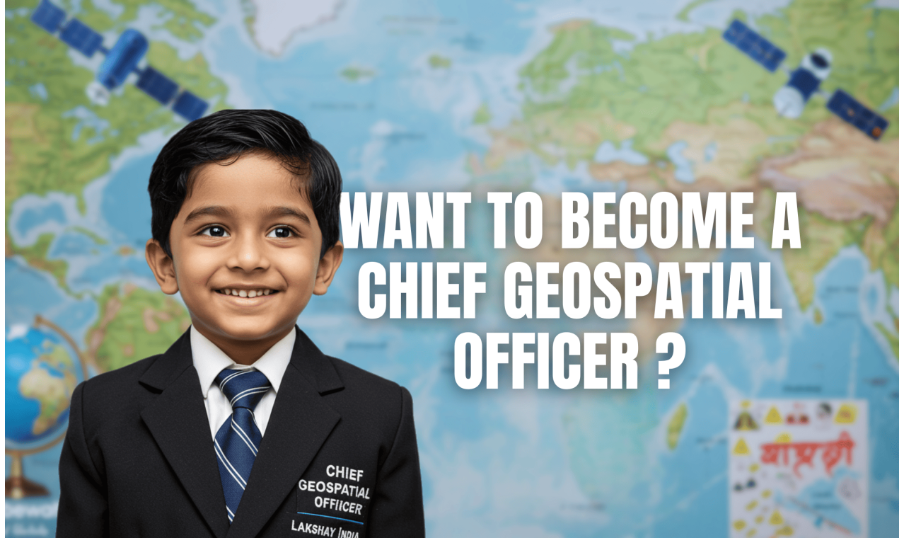
A Chief Geospatial Officer (CGO) is a senior executive responsible for overseeing the strategic use of geographic data, spatial analytics, satellite imagery, and GIS (Geographic Information Systems) to support decision-making in sectors like urban planning, defense, infrastructure, climate change, logistics, and smart cities. The CGO leads cross-functional geospatial teams, integrates AI with geospatial intelligence, and collaborates with governments, enterprises, and tech partners to implement location-based solutions at scale.
Step-by-Step Guide to Become a Chief Geospatial Officer in India
1. Schooling (Class 8–12)
Subjects to Focus: Geography, Physics, Mathematics, Computer Science
Olympiads/Exams: Science Olympiads, Geography Competitions, NTSE, NASA Earth Observation Challenges
Lakshay India Support: Geospatial aptitude testing, GIS map-building projects, satellite data decoding workshops, and mentorship from ISRO/Survey of India professionals
2. Bachelor’s Degree (3–4 Years)
Preferred Programs:
-
B.Sc in Geoinformatics / Geography / Environmental Science
-
B.Tech in Geospatial Engineering / Remote Sensing / Civil Engineering
-
B.Tech in Computer Science with GIS electives
Top Indian Institutes:
-
Indian Institute of Remote Sensing (IIRS – ISRO), Dehradun
-
IIT Roorkee – Civil/Geospatial specialization
-
Symbiosis Institute of Geoinformatics
-
Anna University – Geo Engineering
Lakshay India Support: Entrance exam guidance, course selection, and geospatial project exposure in real-world contexts
3. Master’s Degree or PG Diploma (2 Years, Preferred)
Specializations:
-
M.Tech / M.Sc in Remote Sensing & GIS
-
M.Sc in Geoinformatics / Earth Observation
-
PG Diploma in Satellite Data Analysis, Cartography
Top Indian Institutes:
-
IIRS – Dehradun
-
IIT Bombay (CSRE Dept.)
-
TERI School of Advanced Studies
-
JNU – School of Environmental Sciences
Top Global Institutes:
-
University of Twente (Netherlands – ITC)
-
TU Munich (Germany)
-
University of Redlands (USA – GIS)
-
ETH Zurich (Switzerland – Geospatial Systems)
Lakshay India Support: Admission support, SOP/LOR mentorship, research publication coaching, global scholarship planning
4. Certification & Tool Training in GIS & Remote Sensing
Top Certifications:
-
ESRI ArcGIS Professional Certification
-
QGIS Advanced
-
Google Earth Engine for Satellite Data Processing
-
AI in Geospatial from Hexagon / NASA SERVIR
Lakshay India Support: GIS software training, hands-on satellite image analysis, data visualization mentoring
5. Entry into Geospatial Domain (3–8 Years)
Start As: GIS Analyst → Remote Sensing Scientist → Geospatial Program Lead → Director → Chief Geospatial Officer
Industries:
-
Urban Planning & Smart Cities
-
Defense & Intelligence (ISRO, DRDO, NRSC)
-
Agriculture Monitoring (Precision Farming, Soil Mapping)
-
Climate Change & Disaster Response
-
Infrastructure, Transport, Telecom, and Logistics
Lakshay India Support: Job placement mentoring, project portfolio creation, referrals to GIS-based organizations
6. Strategic Advancement to CGO Role (10–15 Years)
Responsibilities:
-
Manage national-scale geospatial platforms and data policy
-
Integrate AI/ML, drone data, and IoT with geospatial insights
-
Collaborate with governments and UN bodies on geospatial programs
-
Lead map modernization, spatial data strategy, and team leadership
Lakshay India Support: Leadership skill-building, policy awareness sessions, and global conference participation
How to Get a Job as a Chief Geospatial Officer in Global Organizations
1. Earn Global GIS Credentials & Advanced Degrees
-
MSc in Earth Observation, Geospatial Intelligence, or Applied GIS
-
Certifications from ESRI, NASA, GEOINT institutions
Lakshay India Support: International admission support, research exchange, and fellowship guidance
2. Work with Global GIS and Earth Data Organizations
Target:
-
UN-GGIM
-
NASA Earth Science Division
-
ESRI International
-
World Bank (Geospatial Programs)
-
Google Earth Engine / Mapbox / Planet Labs
-
USGS, NOAA, and European Space Agency
3. Build a Global Geospatial Portfolio
Include:
-
Satellite-based disaster modeling
-
Drone-based land surveys
-
Urban heat mapping, flood forecasting, land use classification
Lakshay India Support: Capstone projects, GIS story map coaching, remote sensing simulations
4. Attend and Present at Global Forums
Events:
-
GEOINT Symposium
-
International Society for Photogrammetry and Remote Sensing (ISPRS)
-
FOSS4G Conference
-
United Nations World Geospatial Information Congress
Lakshay India Support: Abstract writing, presentation rehearsal, sponsorship planning
Top Global Organizations Hiring Chief Geospatial Officers
-
ESRI
-
NASA Earth Sciences
-
UN-GGIM
-
Google Earth / Geo
-
World Bank (Open Data for Resilience)
-
DigitalGlobe / Maxar Technologies
-
Airbus Intelligence
-
Mapbox
-
Planet Labs
-
Palantir Geo Systems
Highest Global Annual Packages (INR Equivalent)
| Organization | Global Salary Range (INR/year) |
|---|---|
| NASA / UN-GGIM | ₹3 Cr – ₹4.8 Cr |
| ESRI / Mapbox | ₹2.8 Cr – ₹4.5 Cr |
| World Bank (Geospatial Lead) | ₹2.5 Cr – ₹4 Cr |
| Maxar Technologies / DigitalGlobe | ₹2.8 Cr – ₹4.2 Cr |
| Planet Labs / Airbus Earth | ₹2.4 Cr – ₹3.8 Cr |
Key Skills Required
-
Remote Sensing & Satellite Image Interpretation
-
GIS Mapping and Cartography
-
AI/ML for Spatial Pattern Detection
-
Drone Data Processing
-
Climate & Terrain Modeling
-
Urban & Infrastructure Planning Analytics
-
Spatial Database Management (PostGIS, SpatiaLite)
-
Leadership, Policy, and Communication Skills
How Lakshay India Supports Aspiring Chief Geospatial Officers
Geospatial Talent Discovery (Class 8 onwards):
Earth observation competitions, map design labs, ISRO simulation programs, and environment-themed research projects
Engineering/Science Pathway Mentoring:
Course counseling for B.Tech/B.Sc in GIS/Remote Sensing, IIT/IIRS-focused entrance coaching
Project Mentorship and Tools Training:
Live GIS analysis, ArcGIS & Google Earth Engine mentorship, satellite image research projects
Global Research & Fellowship Track:
Support with ITC, TU Munich, ESRI, NASA SERVIR Fellowships, and international publishing
Lakshay India Geospatial Leadership Program:
A specialized mentoring initiative that equips future Chief Geospatial Officers with advanced spatial science training, global exposure, and multidisciplinary decision-making skills
-914x546.png)
-1278x768w.png)


-1278x768w.png)


-1278x768w.png)
-1278x768.png)
-1278x768w.png)
-1278x768w.png)
-1278x768w.png)
